Giant Floor Map

Step into the watershed

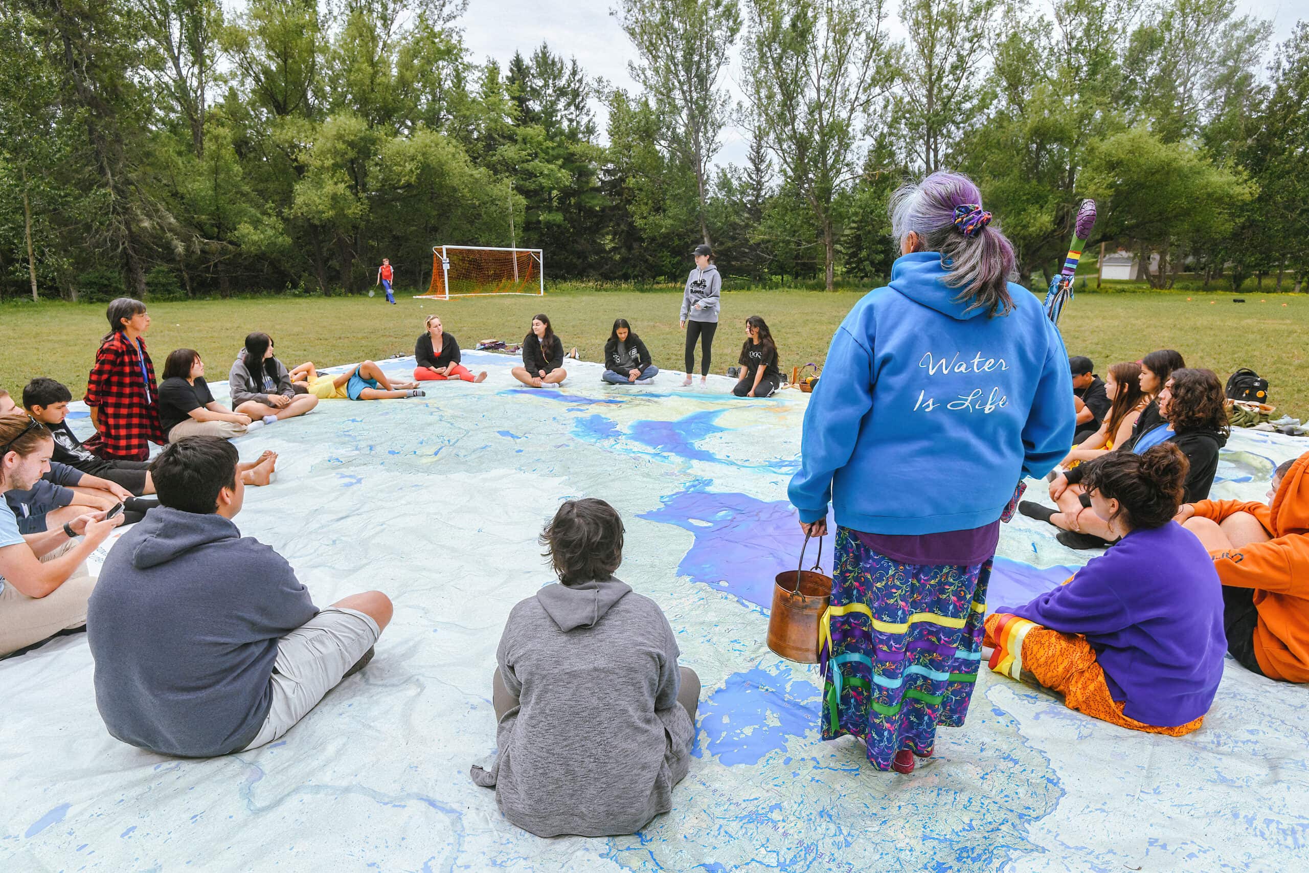
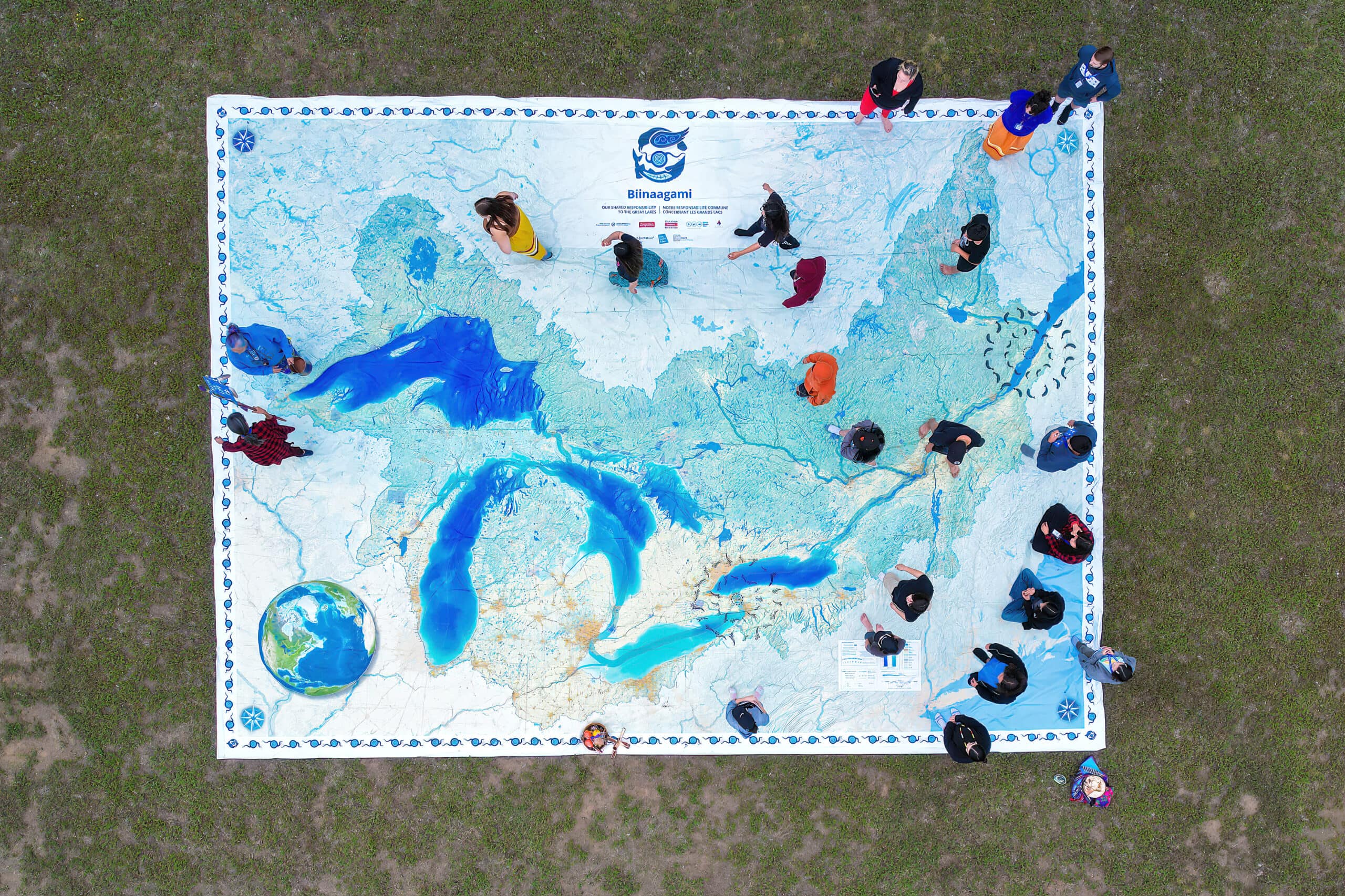
Trace the steps of an Anishinaabe Water Walker as she welcomes you to the Great Lakes-St.Lawrence watershed. Marvel at the vibrant, deepening blues of the lakes’ bathymetry as you walk along their flowlines. Soak up the diverse languages that came to life on the lands and waters and read the names of waterbodies in those original names. See how the land is being used among the network of waterways that flow across the landscape and whose land they flow through. Find the places most special to you — and be inspired by all the places you could go.

The Biinaagami Giant Floor Map is the hearthstone of Biinaagami. This rich tapestry that gives voice to the waters and amplifies Indigenous knowledge is enriched with augmented-reality (AR) storytelling that will transport you beyond the water’s edge and into its depths. This 8 by 11 metre map comes with a teachers guide that includes 10 ready-to-use lesson plans in French and English, plus bonus learning materials. Maps are also available in a 6 by 8 metre size suitable for classrooms and other smaller spaces.

The Giant Floor Map is a unique and versatile tool for engaging audiences of all ages in recognizing our shared responsibility to protect the lands and waters of the Great Lakes-St. Lawrence watershed. Maps are available for both community engagement events and schools.

Explore the watershed